yahoo Press
How much snow has fallen so far during March 14-15 storm in Central WI?
Images
1 / 8
2 / 8

3 / 8

4 / 8

5 / 8

6 / 8

7 / 8

8 / 8
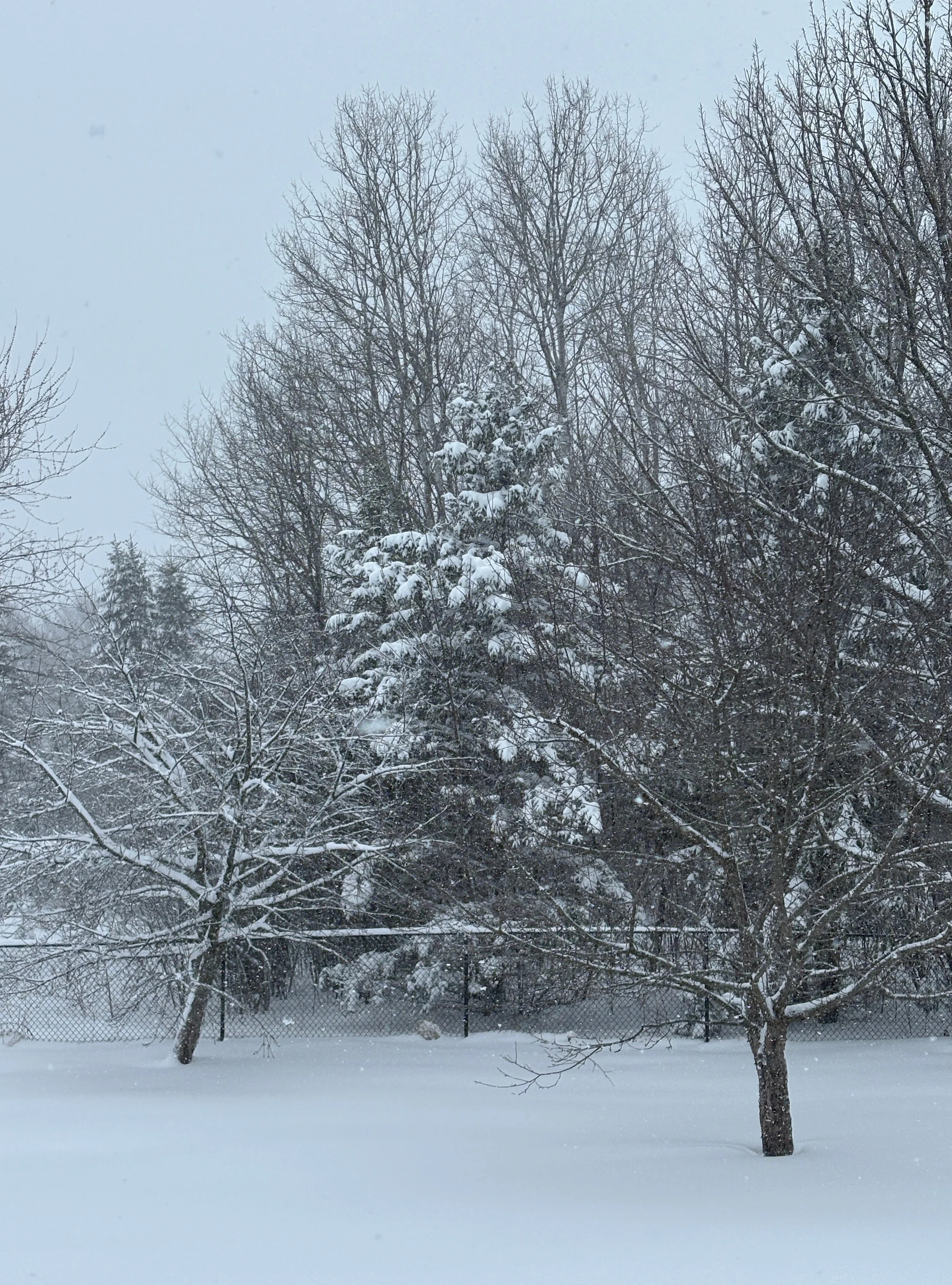
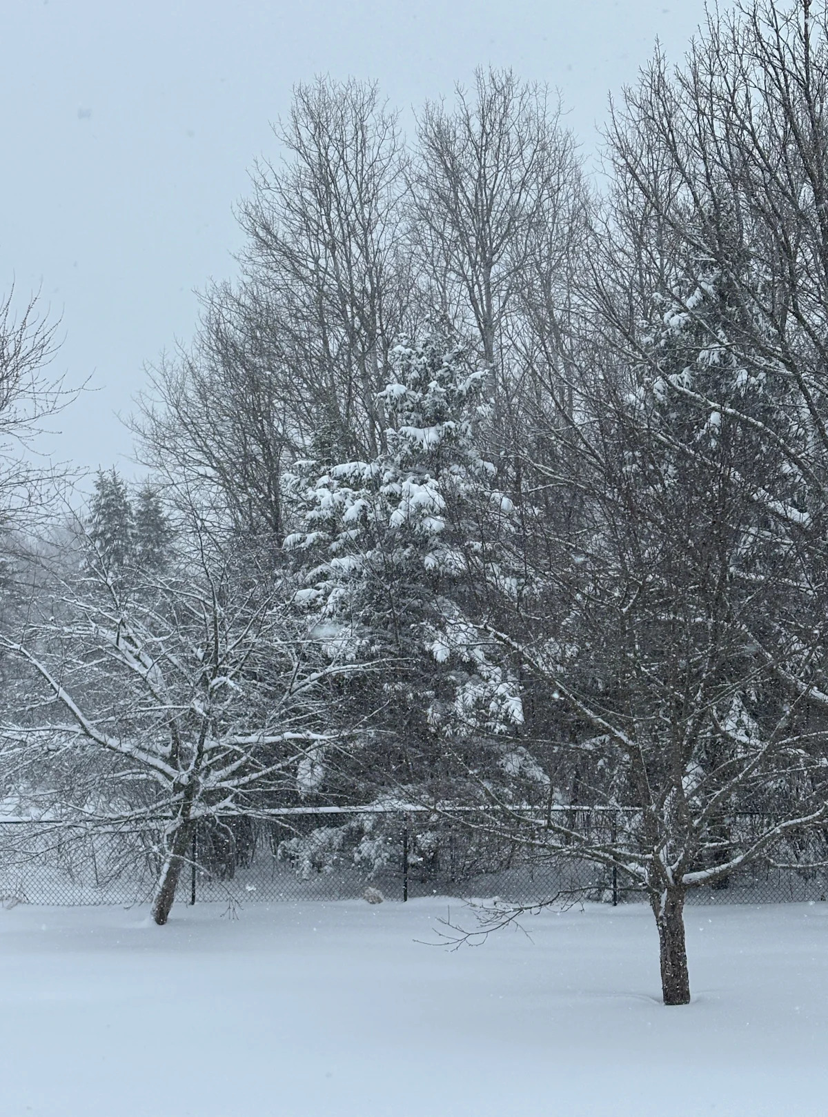
Early snow totals reported to the National Weather Service have varied greatly across Central Wisconsin as a snowstorm that started the night of Saturday, March 14 continues across the area on Sunday, March 15.

The highest report in Central Wisconsin so far was 19.3 inches reported at 9:55 a.m Sunday, March 15 in Wausau. Other reports have varied from as little as 3 inches to 17.5 inches.

The snowstorm is expected to continue through Monday, March 16 and a Blizzard Warning is in effect across Central Wisconsin. People are being urged not to travel as road conditions are hazardous.

More Central Wisconsin weather: What are Central Wisconsin's snowfall records and could we break them?

Here are the local snowfall totals reported to the National Weather Service as of noon Sunday, March 15 across central Wisconsin:

Friendship: 3 inches, reported at 7 a.m. March 15

Iola: 12 inches, reported at 9:55 a.m. March 15

Junction City: 12 inches, reported at 7 a.m. March 15

Loyal: 17 inches, reported at 9 a.m. March 15

Marshfield: 16.5 inches, reported at 11 a.m. March 15

Medford: 4 inches, reported at 7 a.m. March 15

Neillsville: 17.5 inches, reported at 9:15 a.m. March 15

Plover: 8.9 inches, reported at 8:30 a.m. March 15

Polonia: 11.5 inches, reported at 8:05 a.m. March 15

Rhinelander: 3.4 inches, reported at 9:25 a.m. March 15

Tomahawk: 3 inches, reported at 8:59 a.m. March 15

Vesper: 12 inches, reported at 9:45 a.m. March 15

Wausau: 19.3 inches, reported at 9:55 a.m. March 15

Weston: 16.1 inches, reported at 9 a.m. March 15

This article originally appeared on Stevens Point Journal: How much snow has fallen during March 14-15 storm in Central Wisconsin